Chjesa Nera in Piève
History of Chjesa Nera
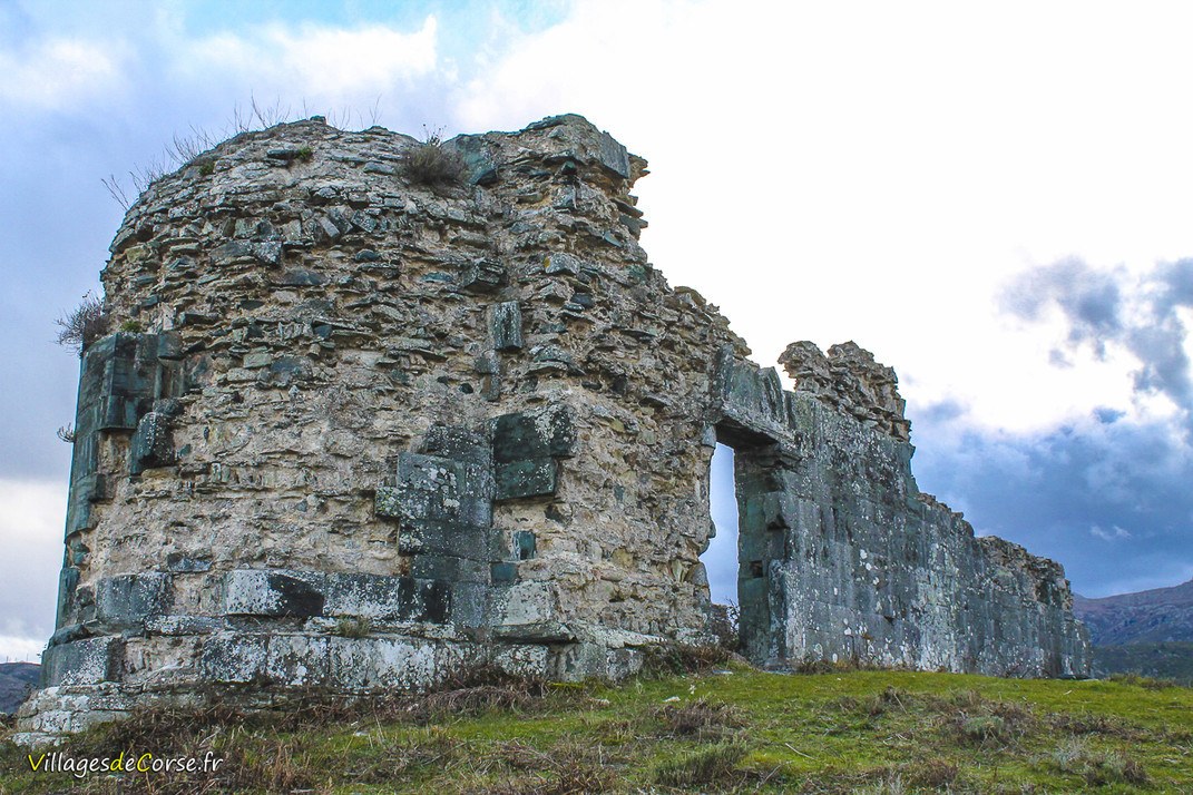
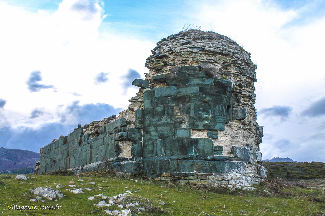
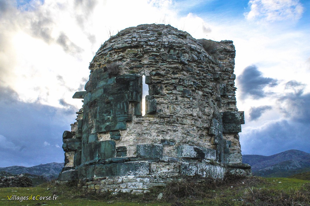
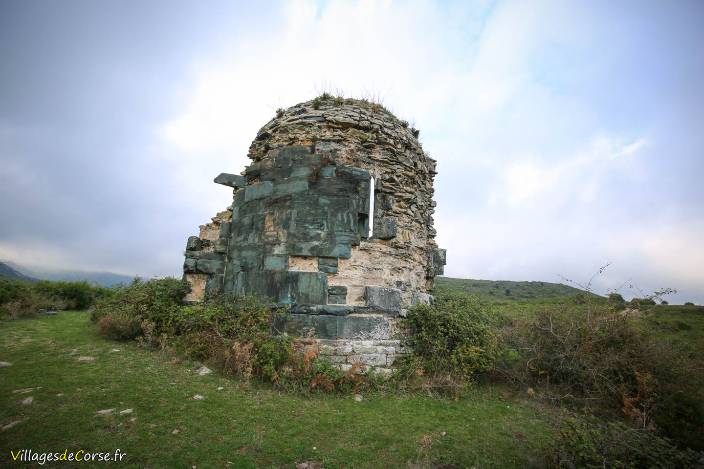
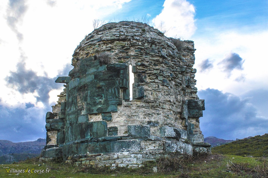
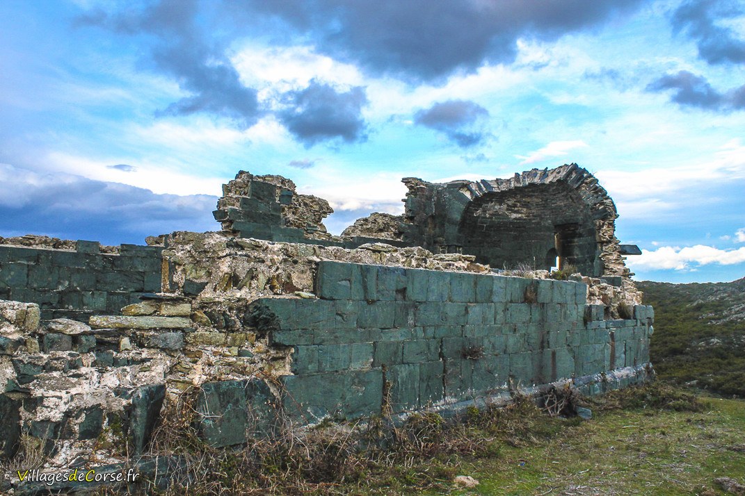
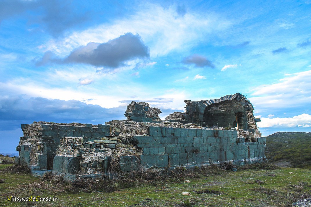
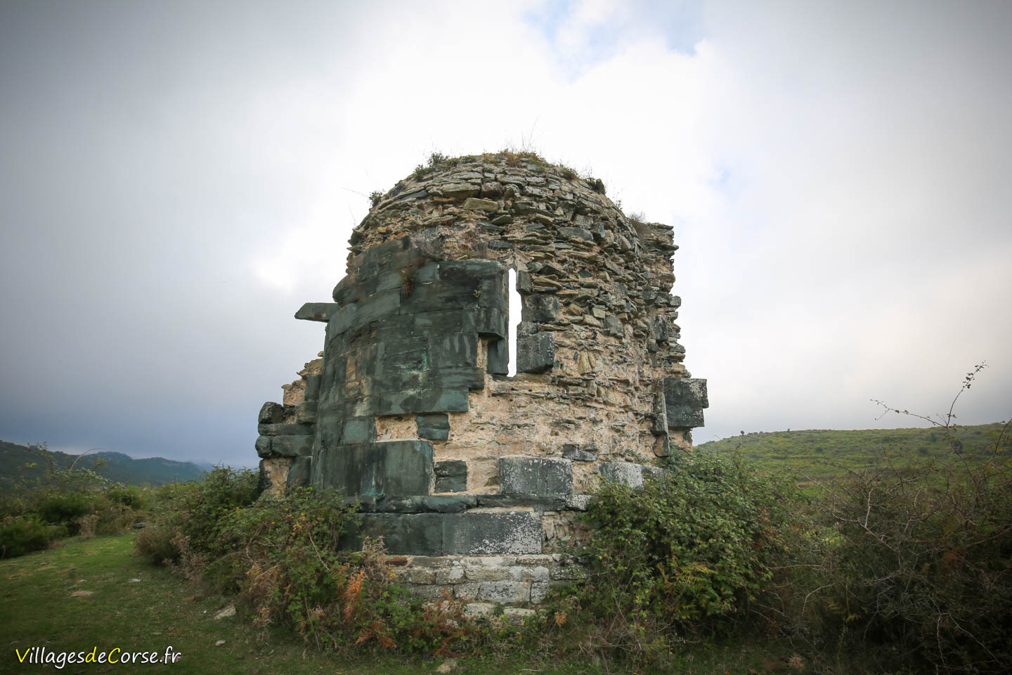
Located on the heights of the commune, south of Piève, "A Chjesa Nera" (The Black Church) is an ancient 13th-century Pisan chapel built of limestone and serpentine (a local green stone typical of the Bevinco region), reminiscent of the Church of Saint Michael in Murato.
The reason why Chjesa Nera is far from the village of Piève is that it belonged to the extinct village of Asigliani (San Nicolao d'Asigliani).
The Chapel of Chjesa Nera was documented by Prosper Mérimée - Inspector of Historic Monuments - in 1839, who confirmed the building's disuse since the end of the French Revolution.
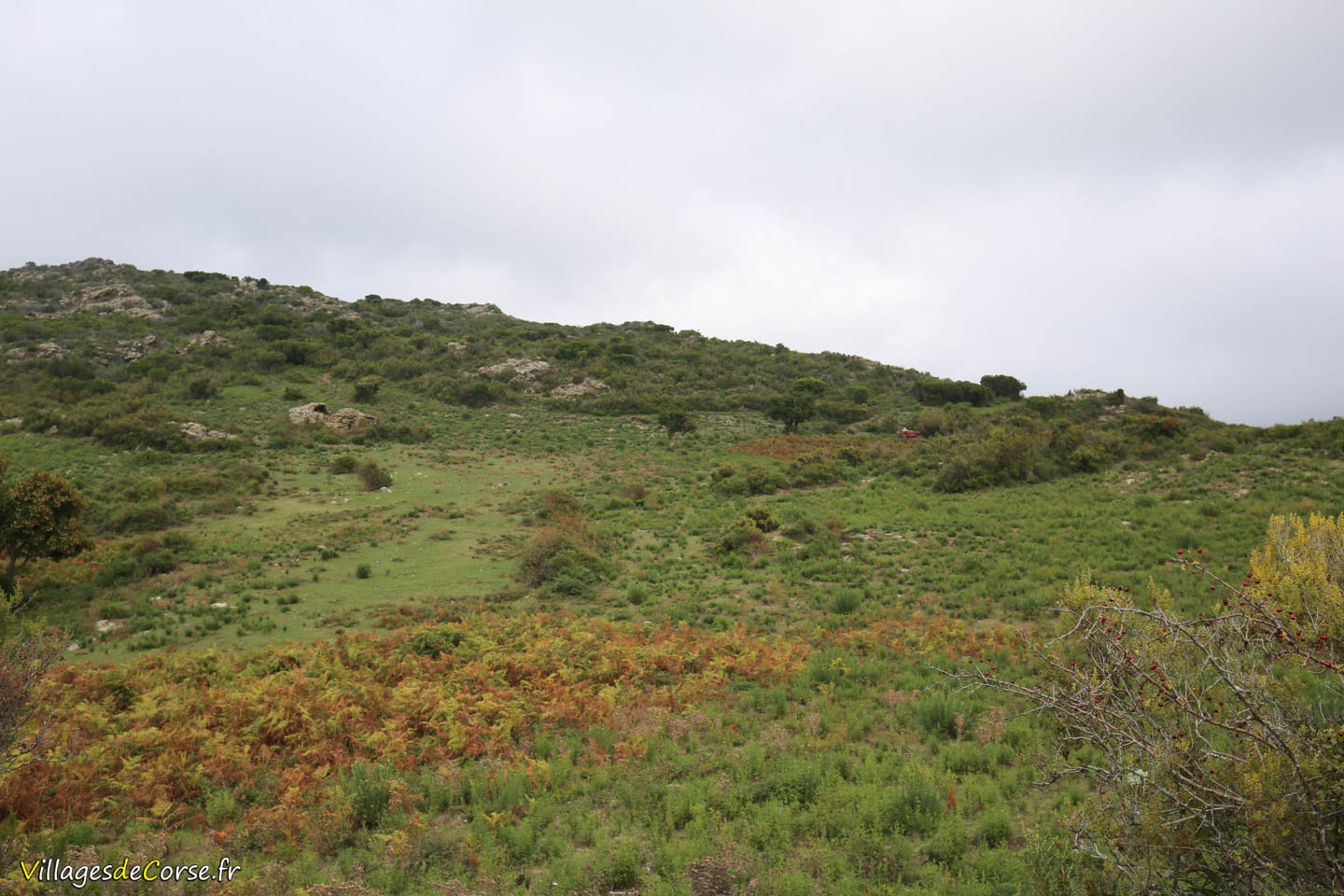
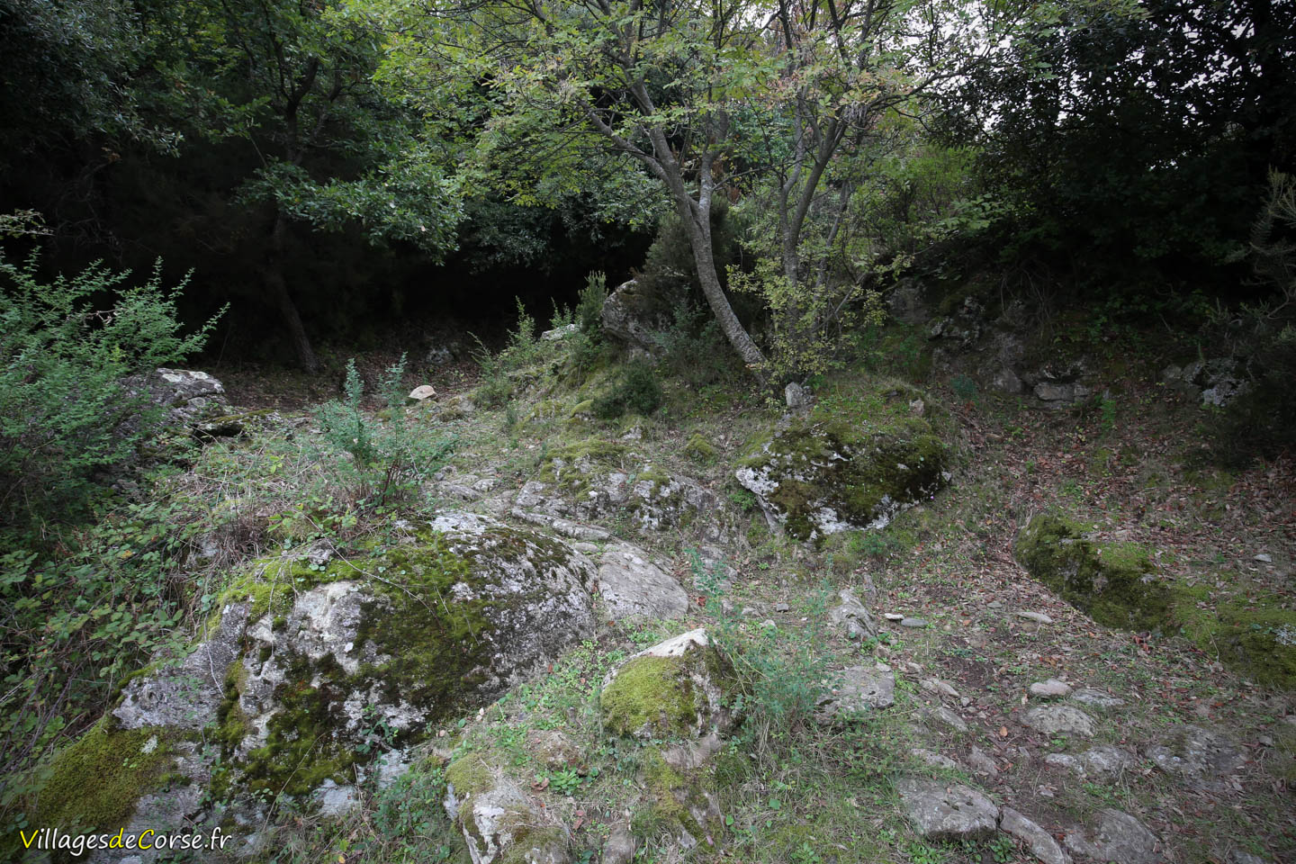
Built on the site of the medieval village of Asigliani
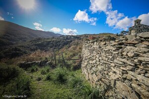
Below lies the plateau of San Nicolao, where a few pagliaghji and grain threshing areas still bear witness to past life around the medieval village of Asigliani, which was gradually abandoned from the 16th century in favor of Piève, Rapale, and Sorio.
Description of the Chapel
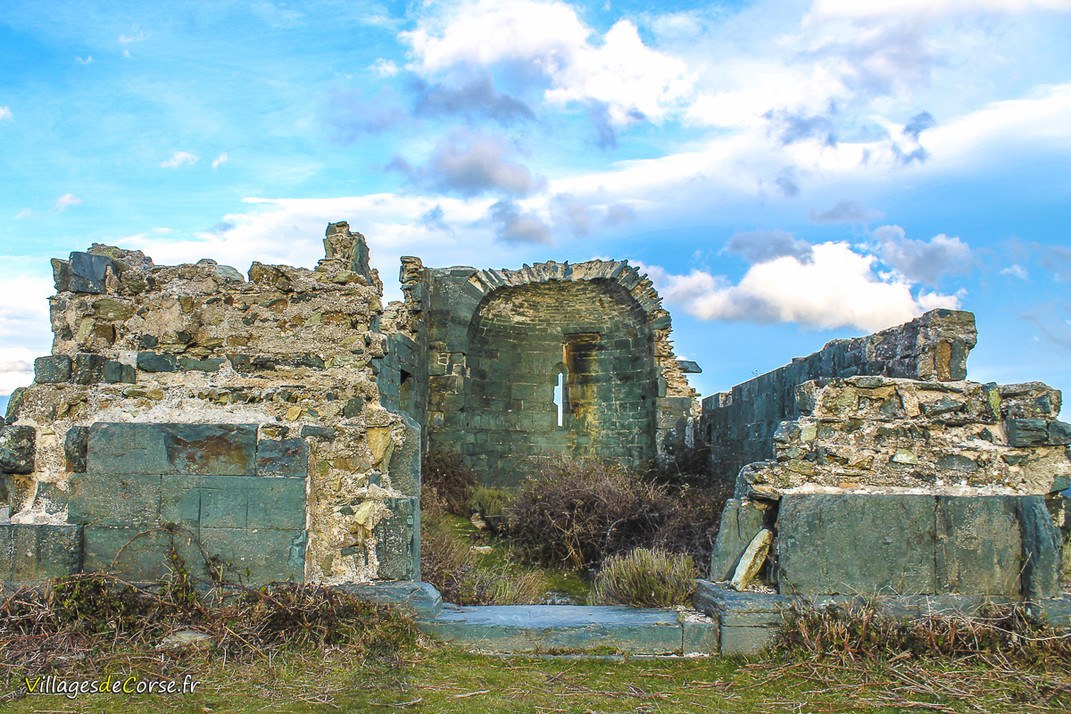
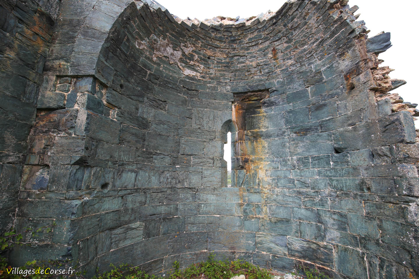
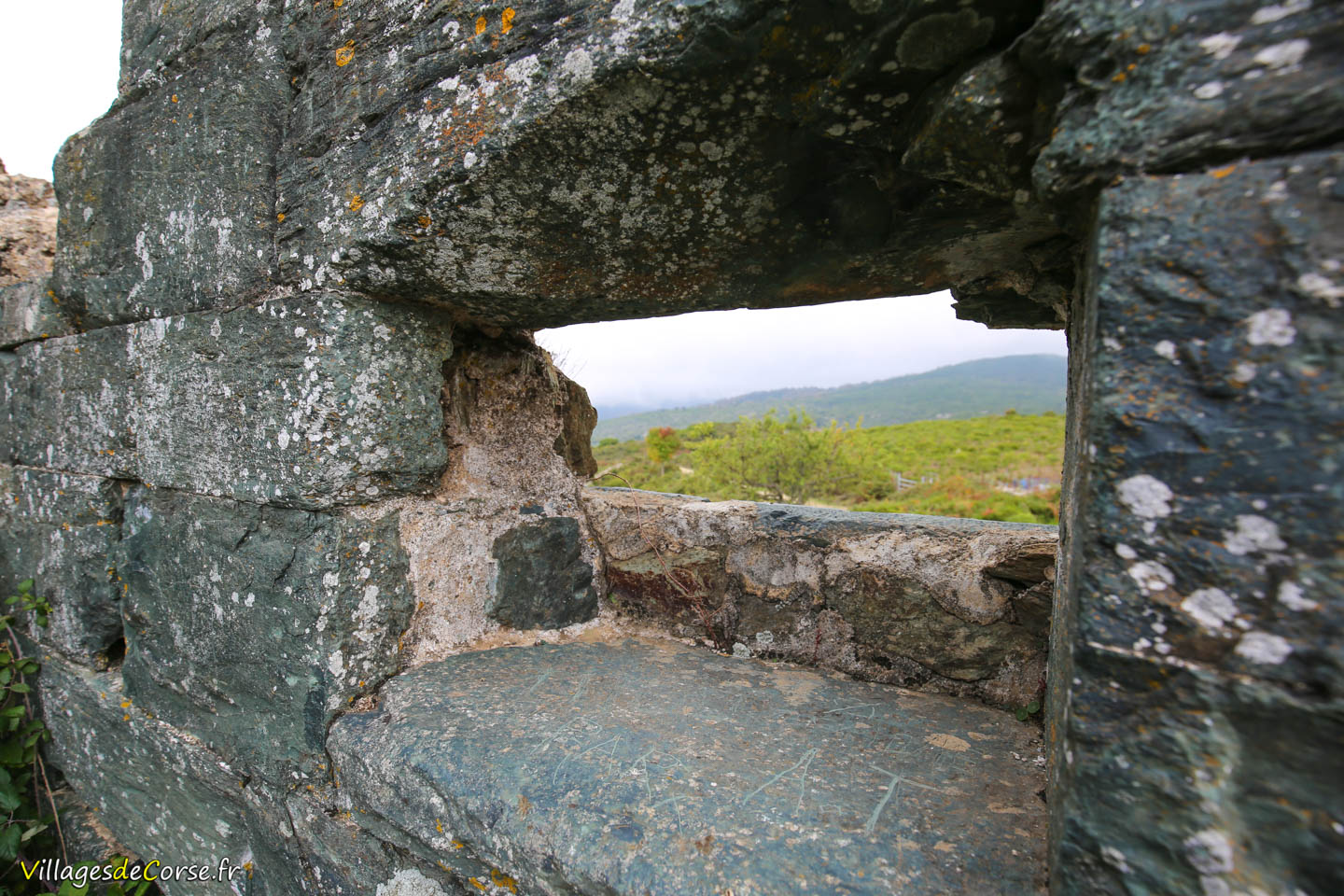
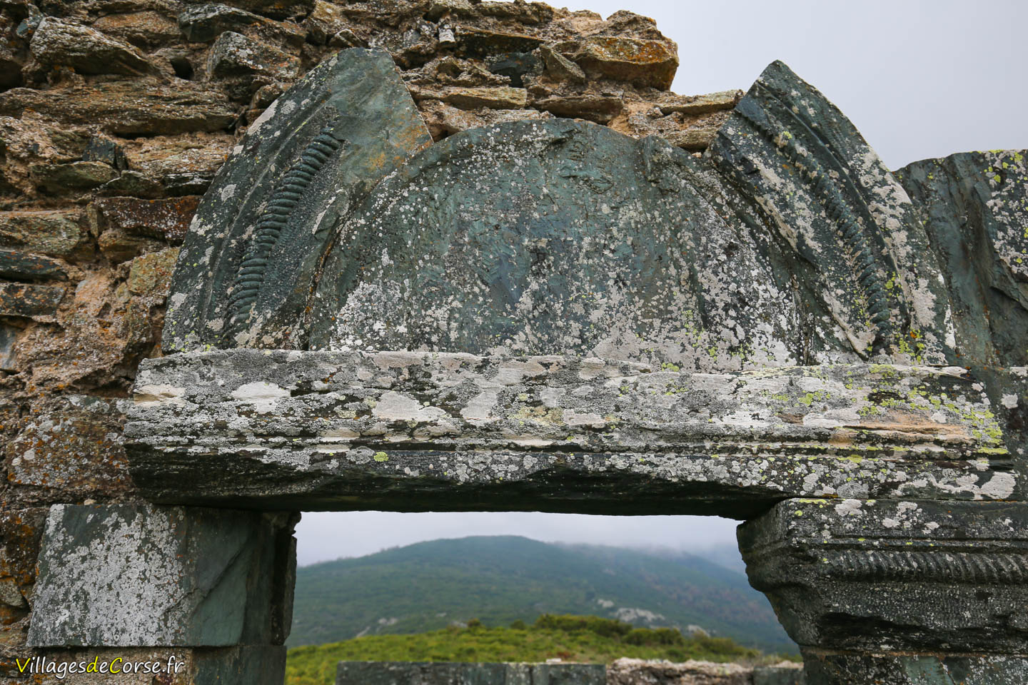
Although in ruins, the building has preserved its walls and outlines, as well as its apse, pierced by a narrow window that allowed light to enter. From inside, one can still observe a splayed window, with a wider opening on the interior than on the exterior, typical of Romanesque or Pisan churches and chapels. This design optimized the entry of light while maintaining the wall’s structural integrity. There also appears to be a sculpted tympanum, the semi-circular part that usually surmounts a door or window. Here, it is carved directly into the green serpentine stone.
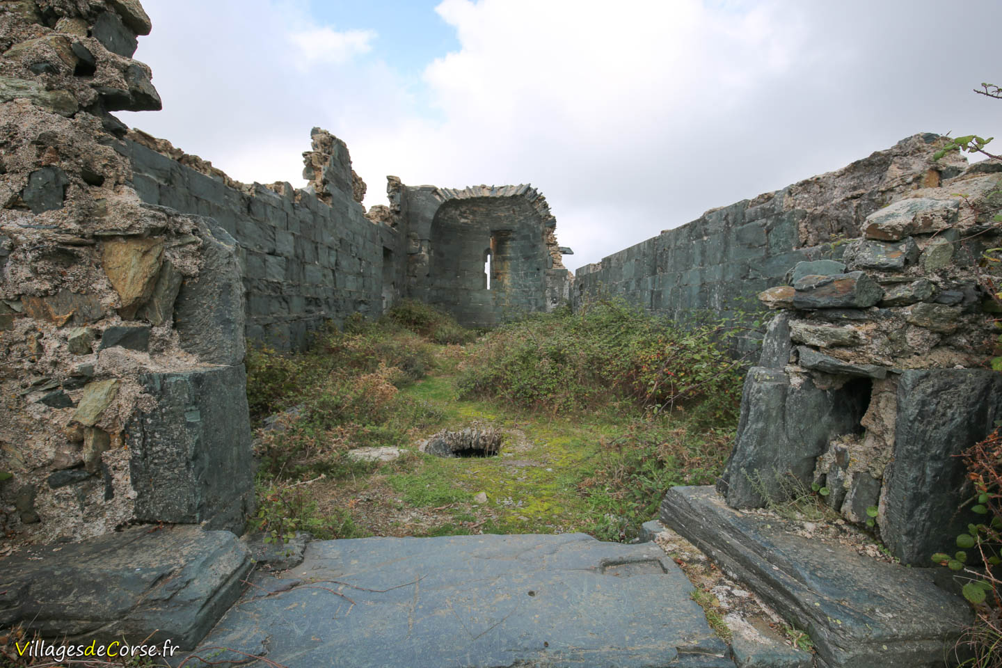
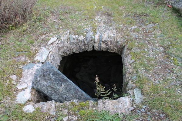
Even more intriguing is the hole in the middle of the chapel, which could be explained by several hypotheses. It may have been a funerary crypt used for burials, as was common in medieval churches, a storage space for valuable liturgical objects, or the remains of an older religious building dating back to the 7th century.
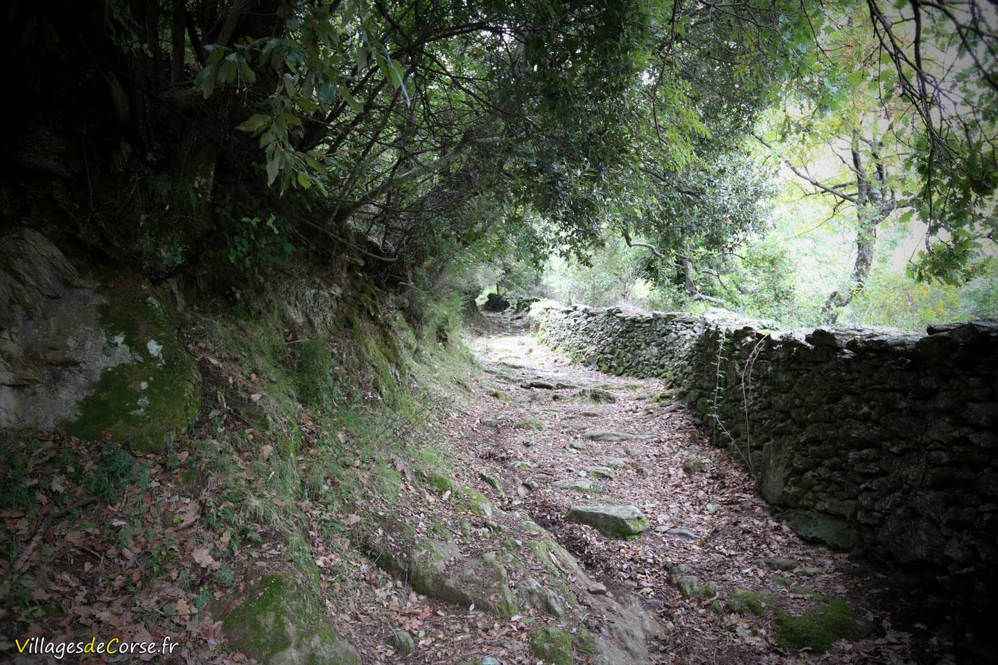
Start of the hiking trail
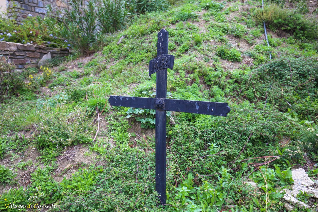
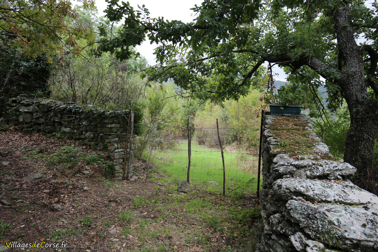
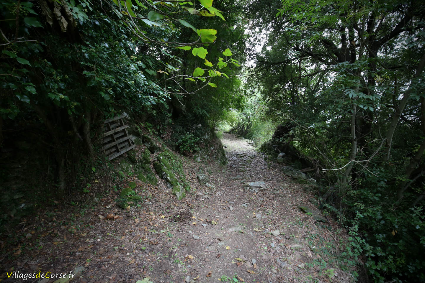
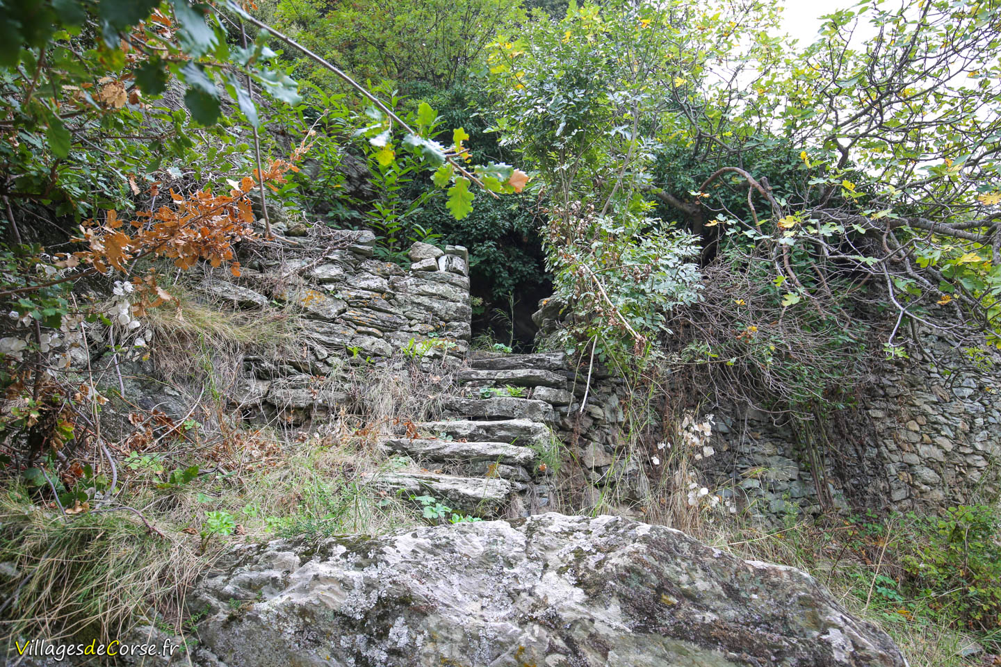
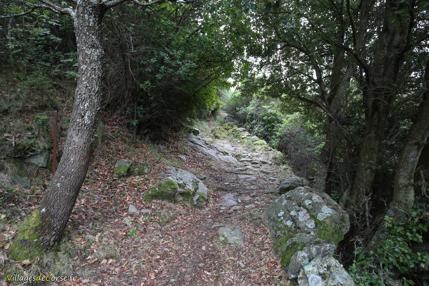
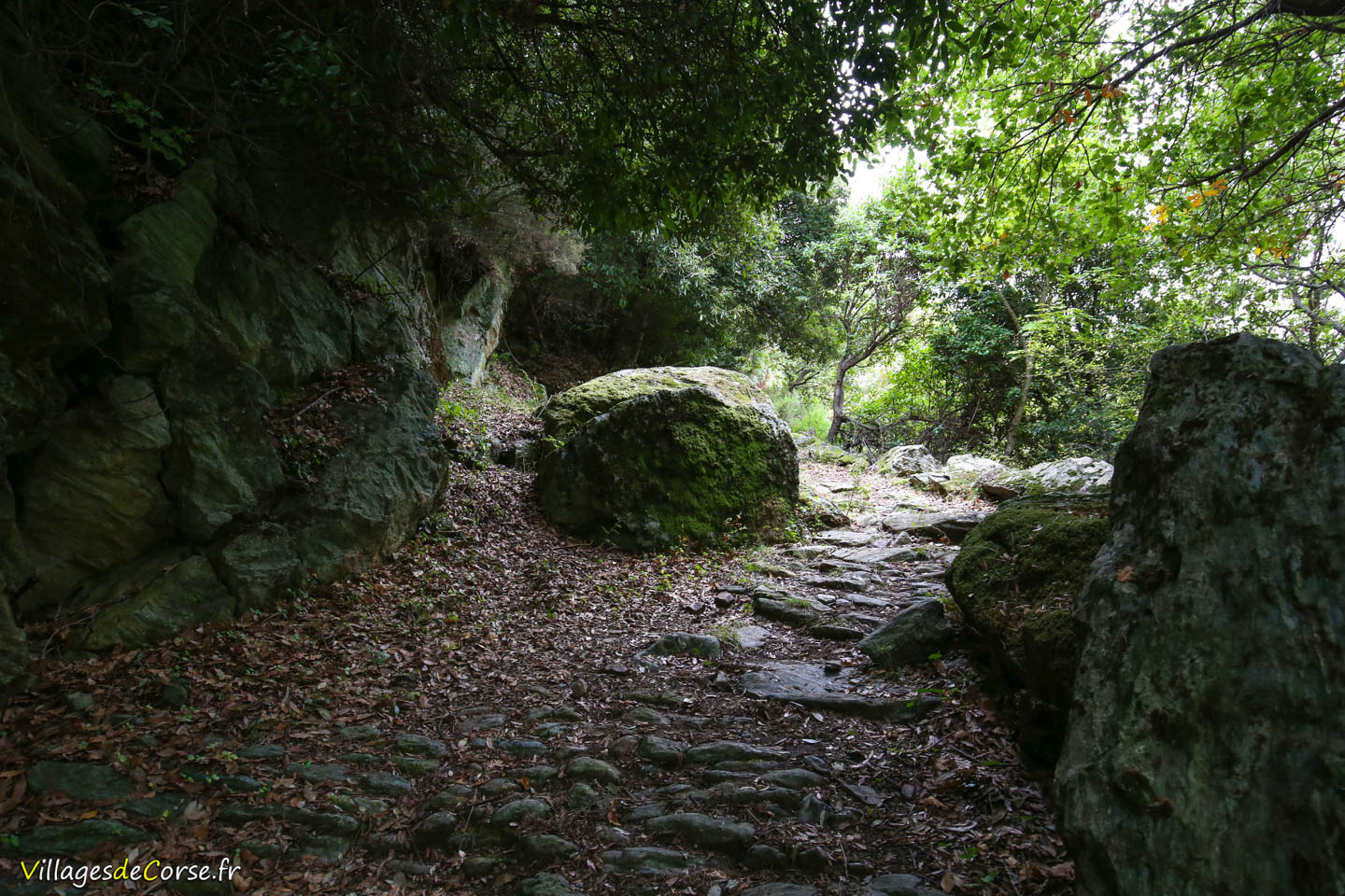
To take the trail, head to Saint-Cyr Church, where you can park. Then, follow the gently sloping road south until you spot a small black cross on your left, marking the start of this old mule track. The route is not signposted.
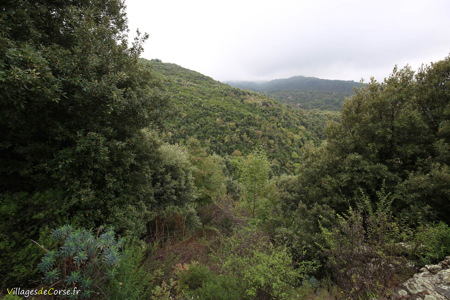
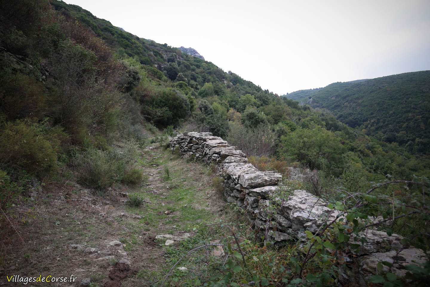
A family-friendly trail
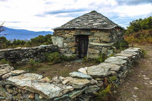
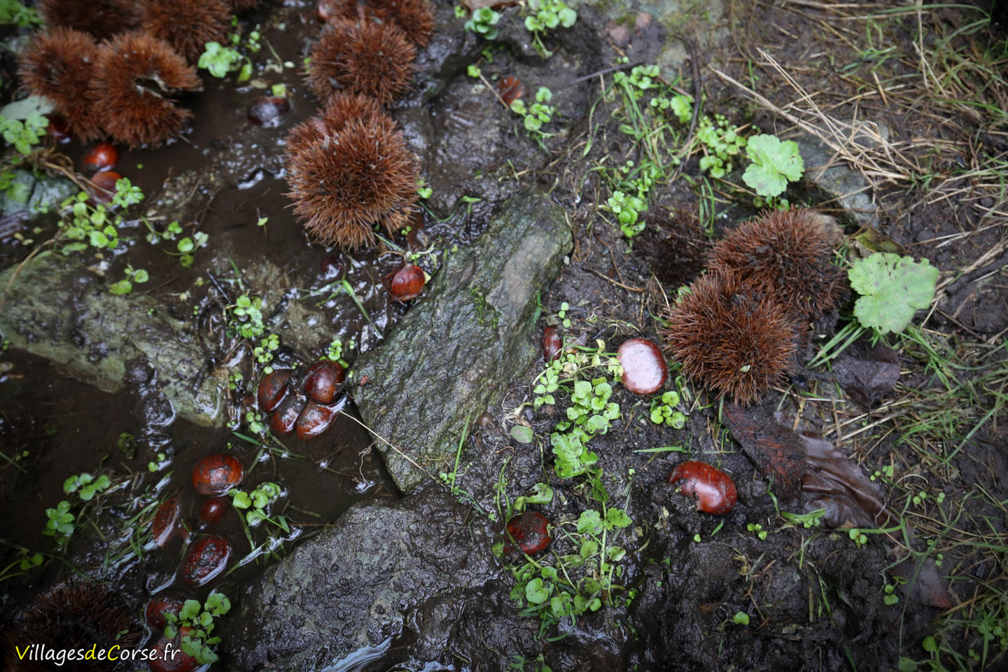
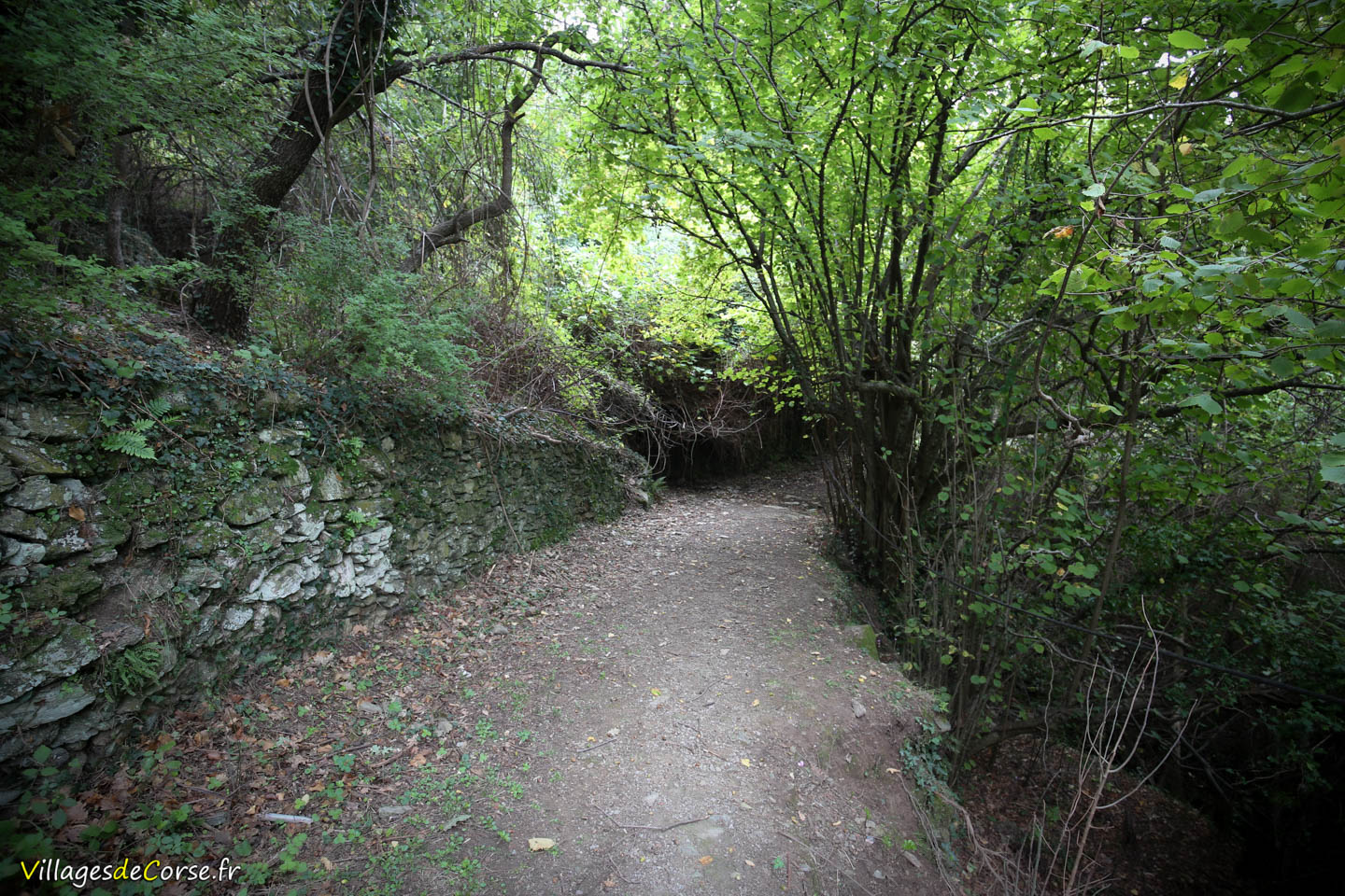
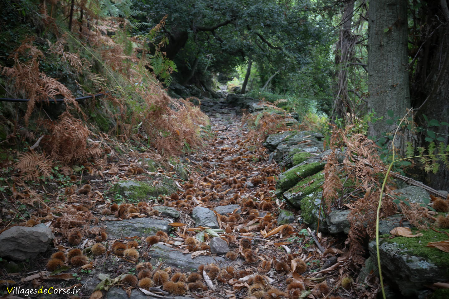
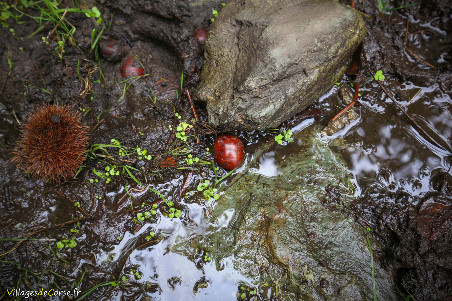
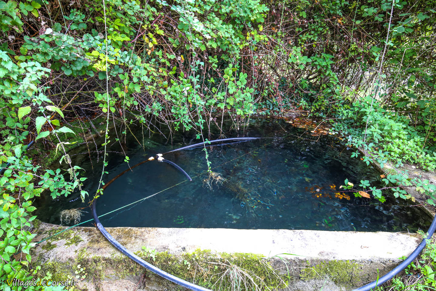
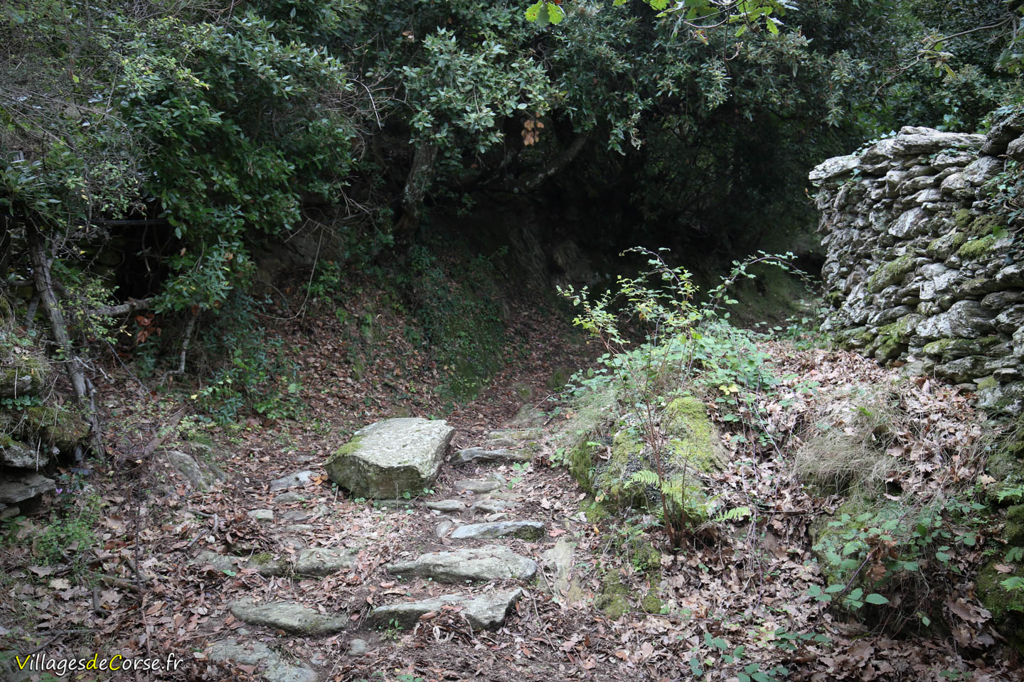
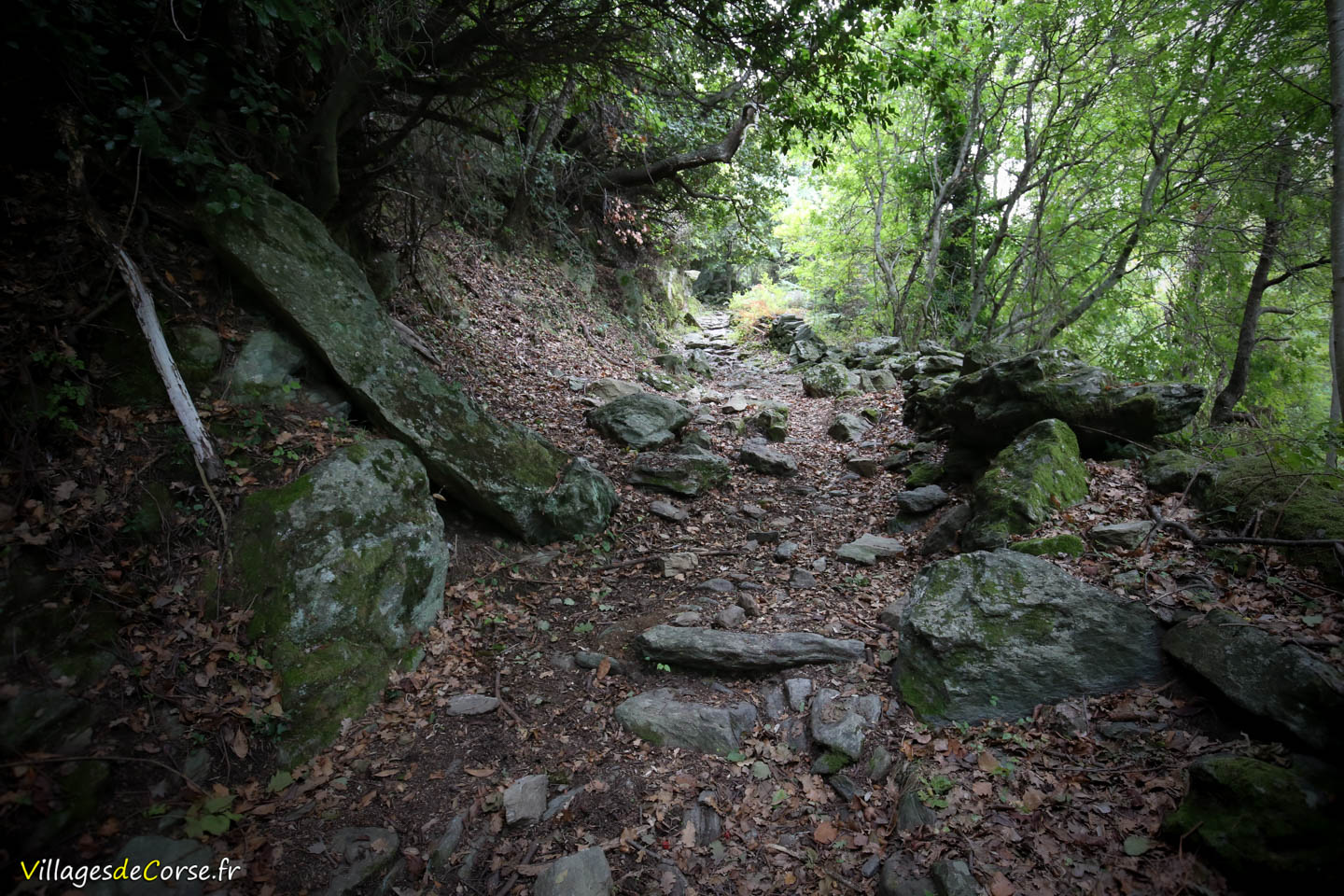
This is an accessible, family-friendly mid-mountain hike through a forest of holm oaks, chestnut trees, arbutus trees, and scrubland, following the Codiglione stream, which feeds a pool visible at the start, alongside ancient stone walls typical of the region.
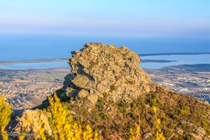
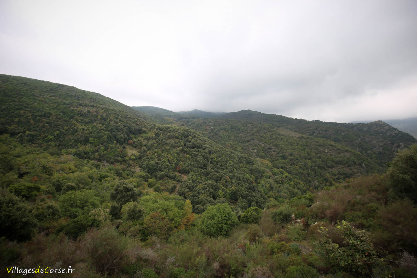
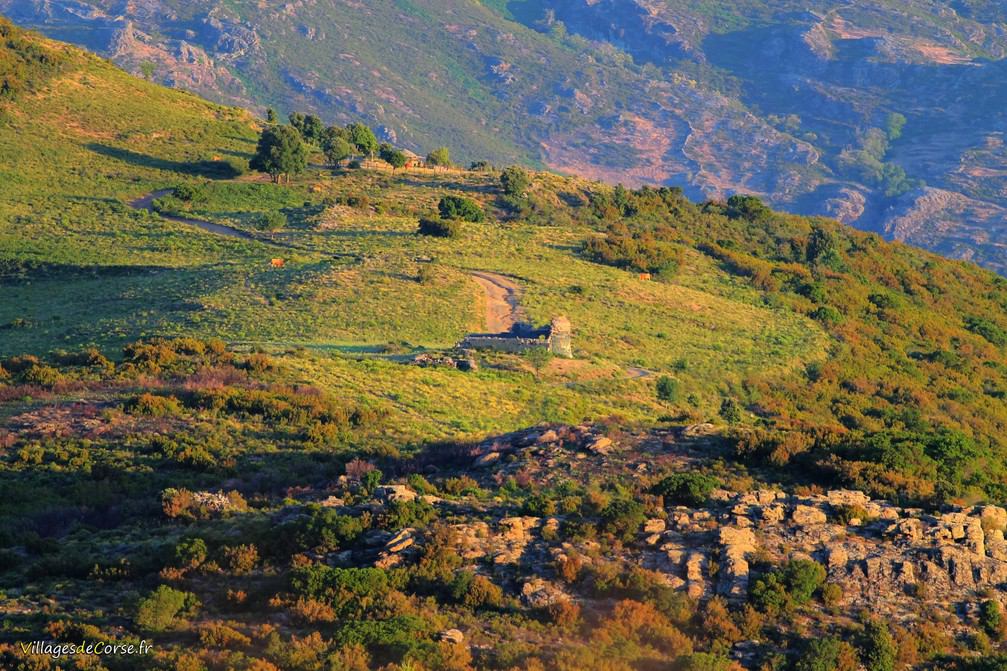
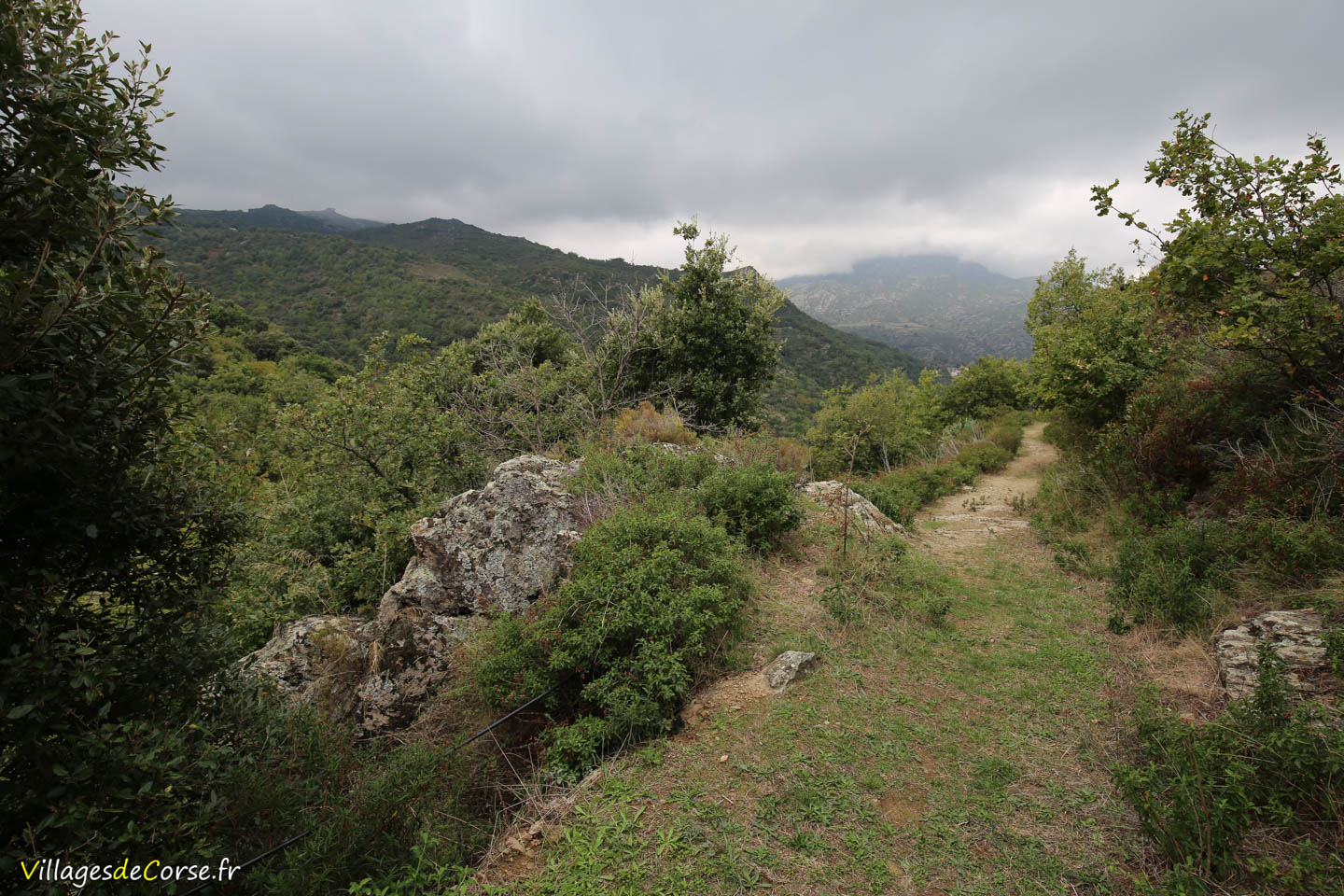
After approximately 40 minutes, you will reach a dirt track that you need to follow for around 100 meters to the right to arrive at the Church of Chjesa Nera. The ruined building sits on a small, open plateau with dry grassland, clearly visible from the photo taken from the heights of Murato. The 360° view encompasses the entire valley, with Tenda at the summit.
The route ascends 230 meters in elevation, followed by a descent, covering a total of approximately 3.9 km, which can be completed in about 1 hour and 20 minutes.
Another (longer) route is possible via the Murato road, ascending toward the Col de Bigornu. However, it is neither marked nor signposted and requires crossing several streams.