vdcen
  1. Hiking
  2. Casinca
  3. Sentier de Mucchiatana

Mucchiatana to Venzolasca Hiking Trail

5/5 - 1 reviews
Sentier de Mucchiatana
5
1
15
r678f1e2d11063
25
voc
Posted on 20/06/2023
Updated 1 year ago
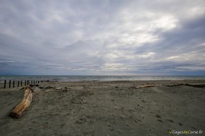
Ruisseau Ciavattone à Venzolasca, le 16/12/2018Plage Mucchiatana à Venzolasca, le 16/12/2018
Sentier de Mucchiatana Venzolasca - 16/12/2018Ruisseau Ciavattone à Venzolasca, le 16/12/2018Ruisseau Ciavattone à Venzolasca, le 16/12/2018Plage Mucchiatana à Venzolasca, le 16/12/2018Plage Mucchiatana à Venzolasca, le 16/12/2018Ile de Montecristo Vue Depuis la Plage de Mucchiatana Venzolasca Corse - 16/12/2018Sentier Canal Mucchiatana Venzolasca - 16/12/2018Ruisseau Ciavattone à Venzolasca, le 16/12/2018Ruisseau Ciavattone à Venzolasca, le 16/12/2018
Sentier de Mucchiatana
5.5 km - 1h30 - Altitude : 1 à 5m - Elevation : 4m - Difficulty : 1/5
Parcours FamilialAdapté aux chiensSentier de Mucchiatana

Public protected natural site

Mucchiatana Venzolasca trail - 16/12/2018Mucchiatana Venzolasca trail - 16/12/2018Canal Sentier Mucchiatana Venzolasca - 21/02/2021
Canal Sentier Mucchiatana Venzolasca - 21/02/2021Mucchiatana Venzolasca trail - 16/12/2018Mucchiatana Venzolasca trail - 16/12/2018Mucchiatana Venzolasca trail - 16/12/2018

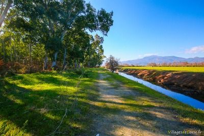
The Mucchiatana walk takes in a protected natural site open to the public in the commune of Venzolasca. The car park is in the shade of tall eucalyptus trees around 100 metres before the beach, making it easy to park out of season.

Between two waters

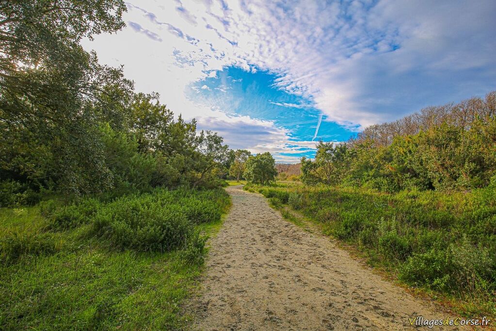
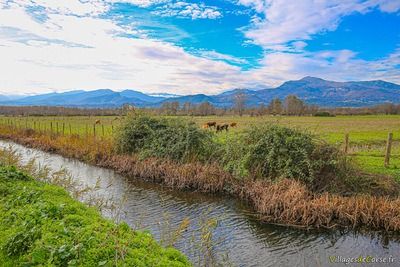
Popular with walkers and joggers, the route runs along a coastal strip between the beach and a stream that runs parallel to the coastline. Made up of a sandy mixture, the path is perfectly clear through sparse vegetation and small cork oaks.

Family walk

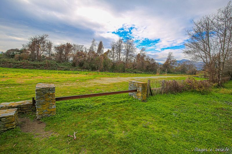
The trail takes less than 1? hours to complete and is not at all difficult. It offers a pleasant, natural landscape bordered by the Venzolasca beach and small, interconnecting streams. With no change in altitude, this walk is ideal for all the family. Make sure you bring plenty of water and something to cover your head, especially in high season when there is virtually no shade.

Situated on a plain in the Casinca region, the site is close to farmland and pastureland, where cows and sheep can be seen grazing peacefully on the other side of the stream. Less than a kilometre further north is the mouth of the Golo - Corsica's largest river - which ends its course in the Tyrrhenian Sea.
IGN map and altitude difference - Sentier de Mucchiatana

Cartes générées par VisoRando.com

Other professionals in Venzolasca