- Hiking
- Castagniccia
- San Petrone
Hiking the San Petrone, the Pinnacle of Castagniccia
Access to San Petrone
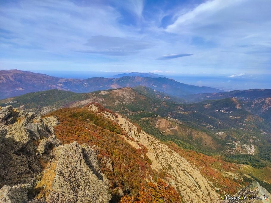
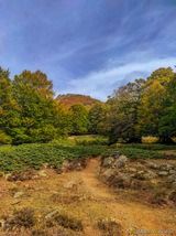
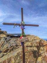
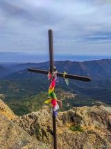
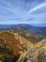
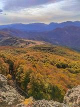
Monte San Petrone is the highest peak in Castagniccia, rising to an altitude of 1,767 metres, with panoramic views of Cap Corse to the north, the sea and the islands of Monte Cristo, Pianosa and Elba to the east, and other Castagniccia peaks and chestnut groves to the south and west.
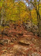
The trail is easy to walk, with a constant gradient throughout, right up to the rocky peak that makes up San Petrone Est, which requires a final effort on a steep slope.
From the Col de Pratu
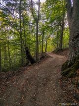
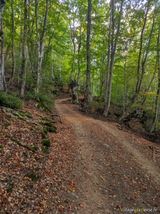
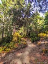
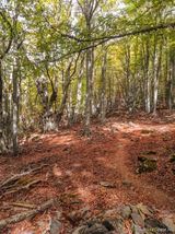
There are several ways to get to the highest peak in Castagniccia, which is shared by the communes of Nocario, Saliceto, San Lorenzo and Castineta. Heading north to south, you can leave from the Col de Pratu on the Morosaglia road (D71) as far as the U Magu pizzeria. You can park nearby. You'll pass through the few dwellings and then quickly head into the forest along a well-marked path. The first part is on a track wide enough for 4x4s, which you should leave after about 3km, taking the footpath on your left.
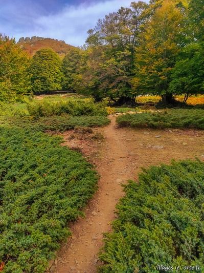
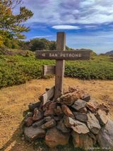
After crossing the forest, at the end of the ascent you'll come to a small, well-cleared pass, with signs pointing in several directions, including Monte San Petrone on your left, before the final climb.
Hiking environment
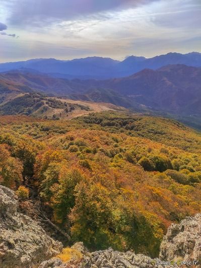
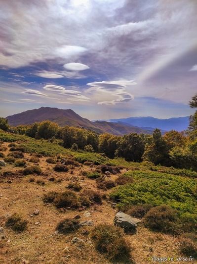
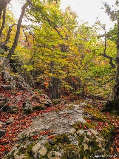
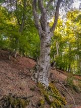
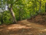
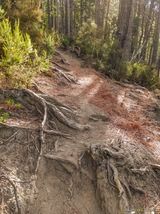
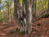
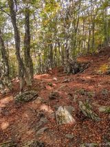
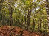
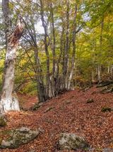
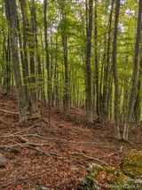
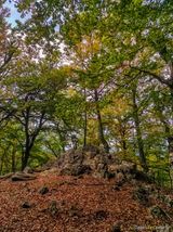
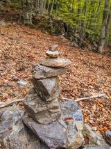
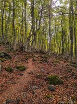
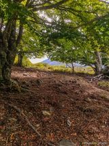
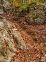
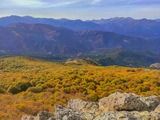
Almost the entire hiking trail passes through an impressive beech forest. In autumn, their leaves cover the ground, providing massive shade right up to the small plateau at the end. At the junction between the track and the footpath, there are also a few pine trees and rocks covered in forest moss.
As the seasons go by, the scenery changes, with new colours for an ever-renewed charm that you can't get enough of.
Difficulty of the walk
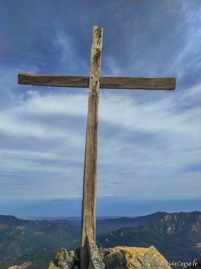
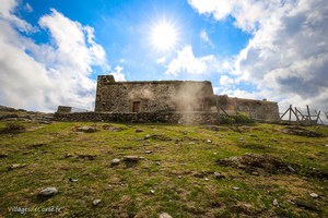
It will take you a total of 2h30, 6.5 km and 752 metres of ascent to climb Monte San Petrone, with its imposing wooden cross to the north and a smaller cross on the opposite side. The hike may prove strenuous for children under 8.
